Nepal to discuss with China to announce the height of Mt. Everest
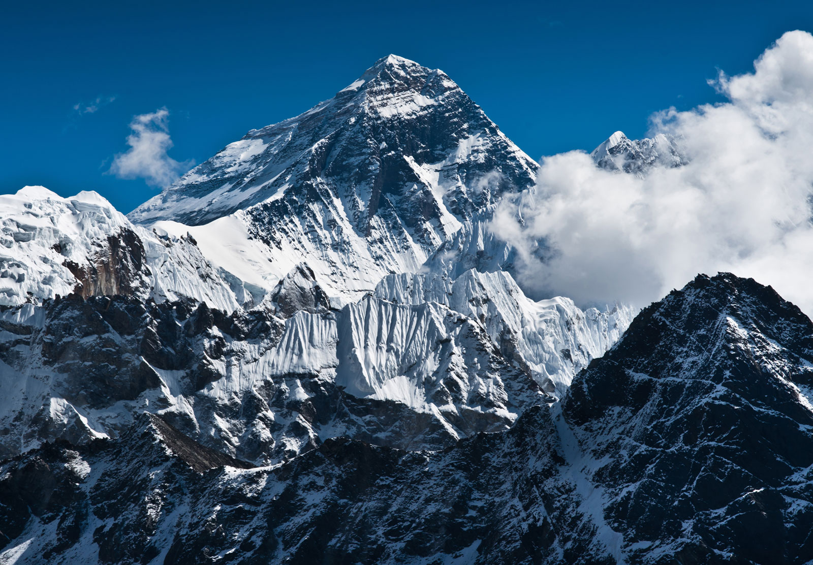
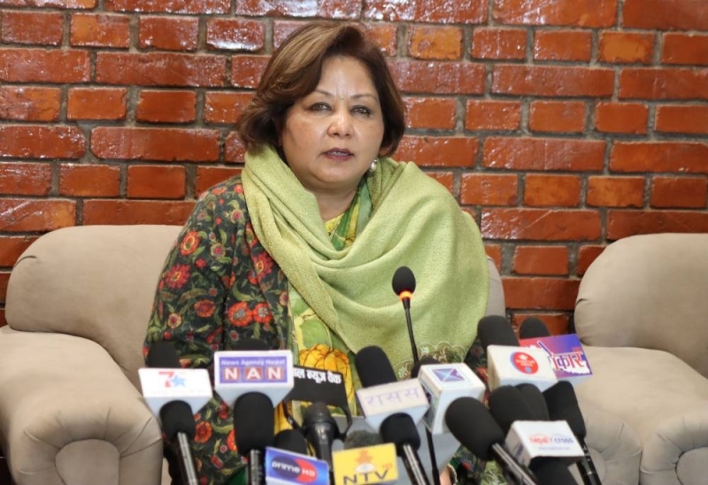
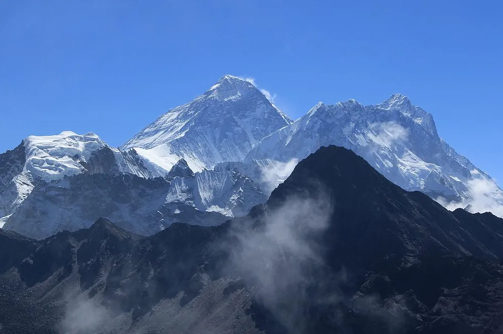
Xinhua, KATHMANDU, May 28 — The Nepali government will hold a discussion with the Chinese side regarding when to announce the height of the world’s tallest peak, said Padma Kumari Aryal, Nepali minister for land management, cooperatives and poverty alleviation.
The minister made the remark after an eight-member Chinese survey team Wednesday reached the summit and remeasured the height of Mount Qomolangma, known as Mt. Sagarmatha in Nepali.
Aryal told Xinhua over phone that the measurement process from the Nepali side is almost complete and Nepal is awaiting the progress in China regarding the measurement.
Measurement of the peak by both neighbours will pave the way for the two countries to jointly announce the height of the Mt. Qomolangma as agreed by the two governments in October last year.
According to the Joint Statement Between the People’s Republic of China and Nepal published on Oct. 13, 2019, both countries will jointly announce the height of and conduct scientific researches.
Khim Lal Gautam, a survey officer and the leader of the Nepali measurement expedition team, expressed delight at the success of the Chinese survey team for reaching the top of the mountain.
“Congratulations to all my Chinese surveyors friends and the Survey Department of China,” Gautam told Xinhua in a social media chat. “I think all of us surveyors around the world should be proud of their works. I am feeling proud of the Chinese surveyors for the historical measurement expedition.”
Gautam, who lost the part of his left toe due to the frostbite during the expedition last year, has been enthusiastically reading the news about the Chinese surveyor’s journey to the top. He has also been eager to know what they did on the top. “If they conducted direct gravity measurement on the top of the mountain, this is very interesting,” he said.
Gautam led a team comprising two survey officers and three Sherpa guides checked the depth of ice and snow over rock height of Mt. Qomolangma with Ground Penetrating Rader (GPR) and had used top-of-the-line satellite navigation device (Global Navigation Satellite System receiver) for receiving necessary signals from the satellites including from China’s Beidou Navigation Satellite System.
Based on the data collected by Gautam led team and other field works, Nepal’s Department of Survey is now undertaking data processing works to re-determine the height of Mt. Qomolangma.
“We are in the final stage of data processing and we will shortly be in position to announce the height,” Sushil Dangol, coordinator at Nepal’s measurement secretariat under the department told Xinhua on Wednesday.
He also congratulated the Chinese survey team for their success in reaching the world’s tallest mountain. “Besides the importance of re-measuring Mt. Qomolangma, it is the great news for the world’s surveyors’ community,” he said.
The Nepali government’s efforts to measure the height of Mt. Qomolangma come amid speculations from some scientists that the world’s tallest mountain has shrunk after the devastating earthquake in 2015 in Nepal.
“New measurement of the height will end the speculation. We want to see a close cooperation between Nepal and China about the measurement process before announcement of the height,” Maya Sherpa, second vice president of Nepal Mountaineering Association, a non-profit organization working in the field of mountaineering and trekking, told Xinhua.
Maya climbed Mt. Qomolangma twice from the Nepali side and once from the Chinese side. The three-time summiteer said it is better to declare the height together so that the whole world would recognize the same height, adding that even if there is different height, the basis of how the height was measured should be made clear.





Facebook Comments