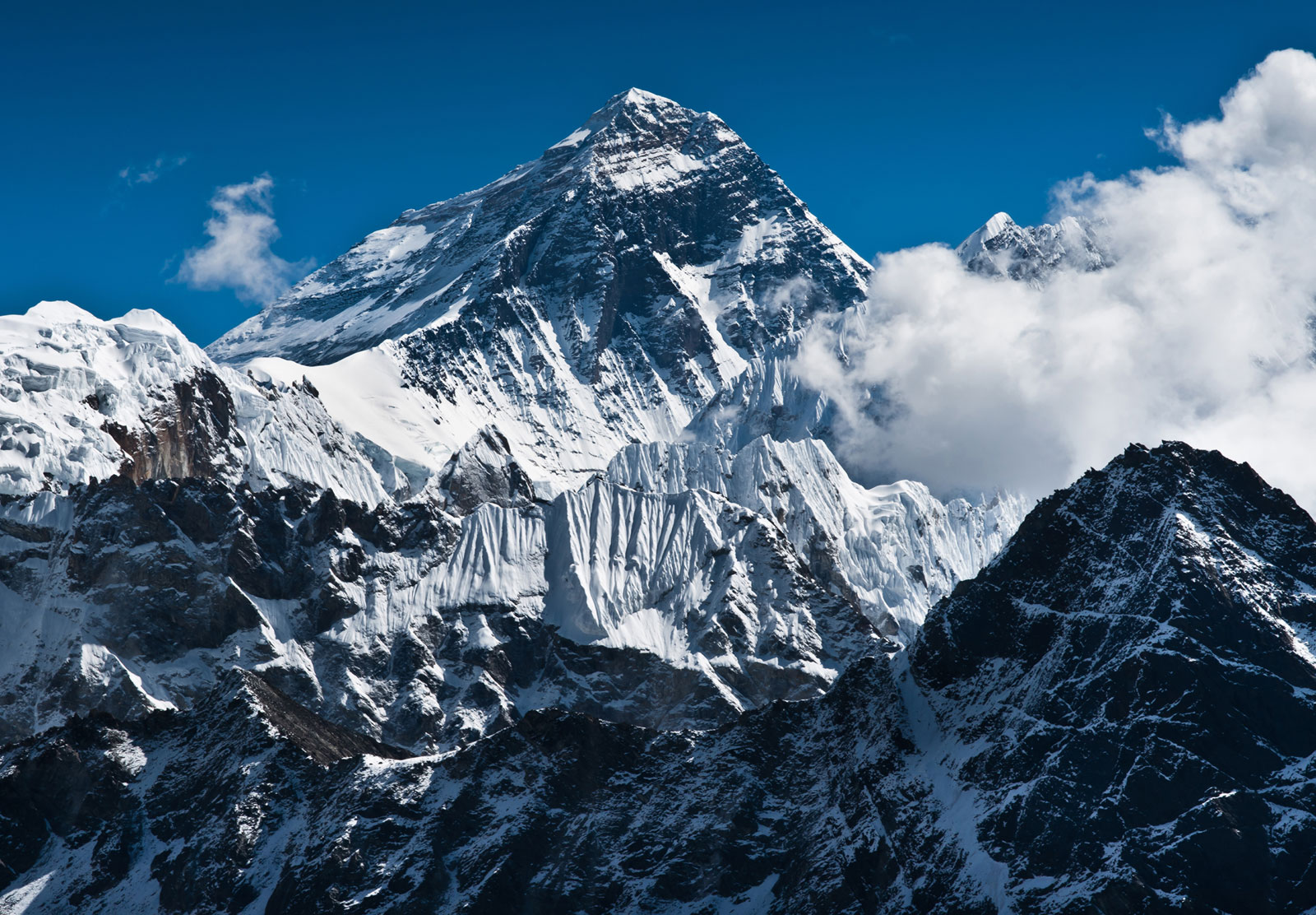
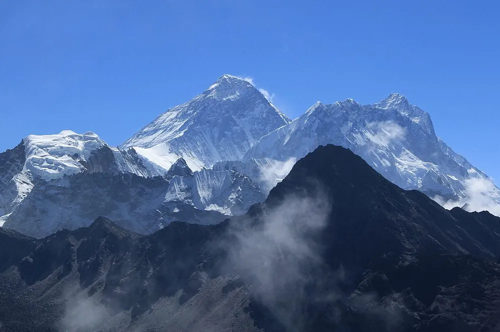
Nepal and China prepare to reveal new height of Mt Everest after Covid delay

London— China and Nepal have teamed up to measure the world’s highest mountain which straddles their border and, under a 2019 memorandum of understanding, they must announce their findings together. The announcement was reportedly delayed because of the pandemic, the Guardian writes.
Nepal sent its own team to the summit in 2019, while China’s expedition occurred in May this year.
The two countries have historically disagreed on the official height but in 2010 agreed to settle their differences.
“The Chinese side … accepted Nepal’s claim that the snow height of Mount Everest is 8,848 metres, while the Nepali side recognised the Chinese claim that the rock height of the mountain is 8,844.43 metres,” China’s foreign ministry said at the time.
All measurements to this day have been conducted by US, European or Indian surveyors, rather than the countries where Everest sits.
Navin Manandhar, who helped develop the methodology for re-measurement, told the Nepali Times: “This body of work is a matter of pride for Nepal, but is also a huge undertaking and with the whole world keenly waiting for the result, it has not been easy.”
The height of Everest was first declared to be 8,840m by the Great Trigonometric Survey (GTS) of India in 1856. It has fluctuated over time, depending on the surveyor and whether the measurement is taken at the highest rock point or the highest snow point, which is subject to change.
Christopher Pearson of the University of Otago in New Zealand told the Nepali Times: “The height of Everest is constantly changing due to tectonic activity, of which the 2015 Gorkha earthquake is only the most recent contribution.”
According to the newspaper, the two sides also use different sea-level points as a reference for their measurements. China uses the Yellow sea while Nepal’s location is closer to the Bay of Bengal coast.


Facebook Comments